Mountain biking in Obertauern
enjoy the freedom - on two wheels
Kick up your feet - the goal in sight - the beautiful landscape to the left and right - be one with nature! A strong feeling of happiness and contentment arrived at the top - and then the wind howled when driving down! Mountain biking in Obertauern!
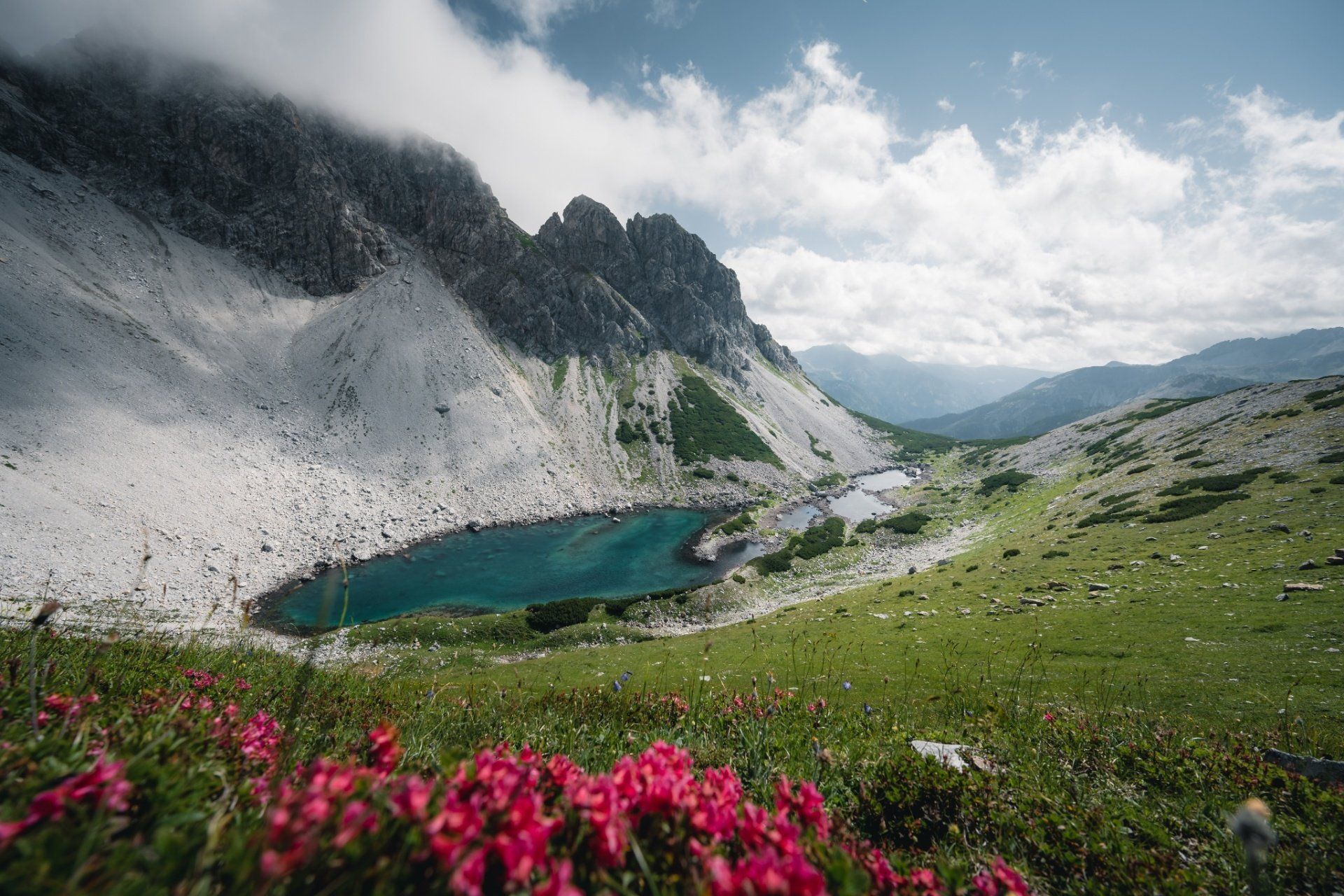
3-Seenrunde
3-Seenrunde
Difficulty: medium
Distance: 8.50 km
Duration: 1h30
Ascent: 350 hm
Descent: 350 hm
Highest point: 1,998 m
Lowest point: 1,662 m
route map
Bike & Hike Blausee
Bike & Hike Blausee
Difficulty: medium
Distance: 25.80 km
Duration: 3:50 h
Ascent: 1,003 m altitude
Descent: 1,003 m altitude
Highest point: 2,134 m
Lowest point: 1,247 m
route map
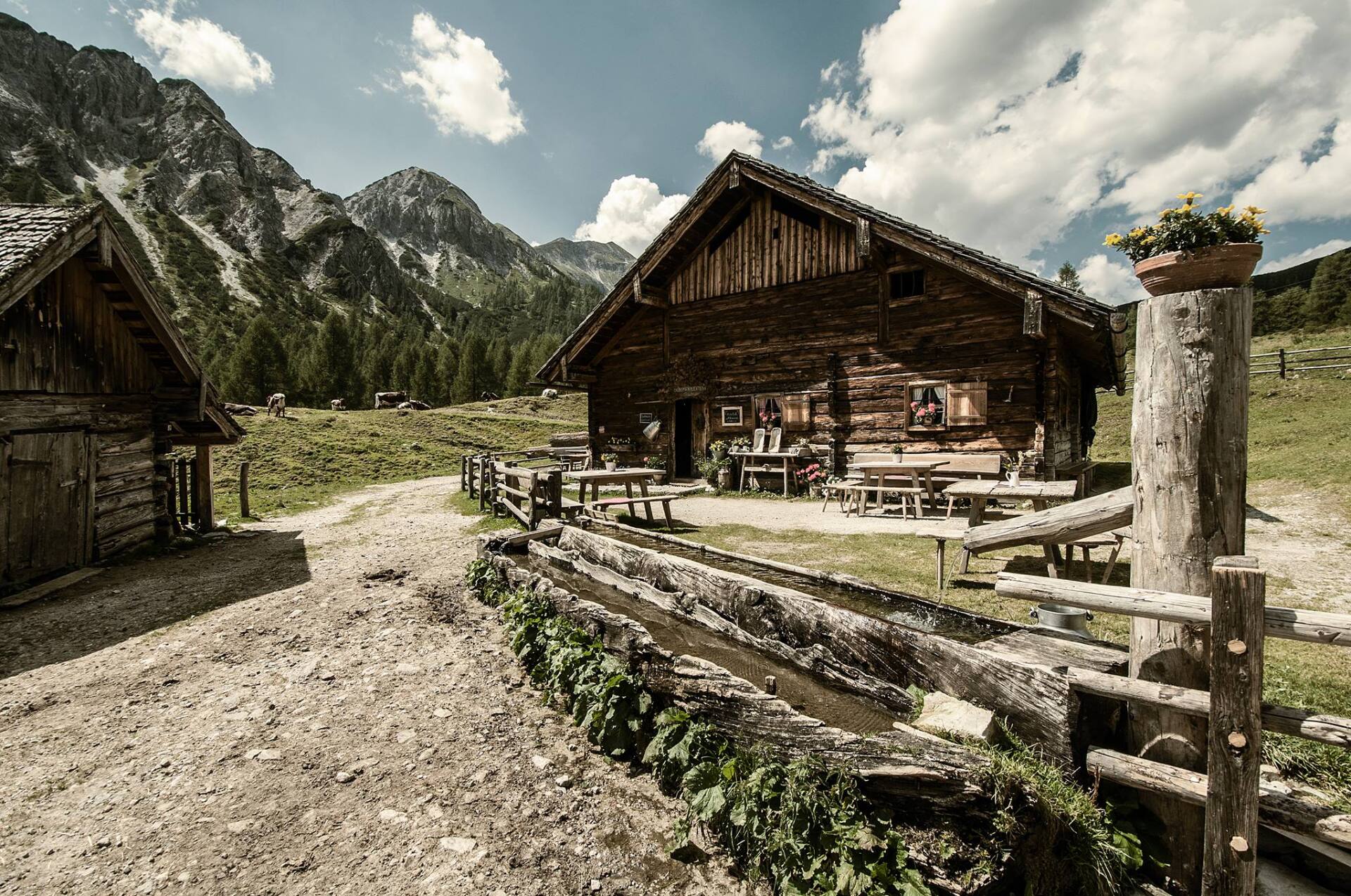
Tauernkarleitenalm
Tauernkarleitenalm
Difficulty: easy
Distance: 7.60 km
Duration: 1h30
Ascent: 390 hm
Descent: 390 hm
Highest point: 1,662 m
Lowest point: 1,257 m
route map
Alles Alm Tour
Alles Alm Tour
Difficulty: medium
Distance: 23.60 km
Duration: 3:30 h
Ascent: 1,000 hm
Descent: 1,000 hm
Highest point: 1,674 m
Lowest point: 1,274 m
route map


